Fail:World.pdf

Algfail (1650 × 1275 pikslit, faili suurus: 768 KB, MIME tüüp: application/pdf)
| See fail ja sellest kastist allapoole jääv kirjeldus pärinevad kesksest failivaramust Wikimedia Commons. | Faili lehekülg Commonsis |
Lühikirjeldus
| Kirjeldus |
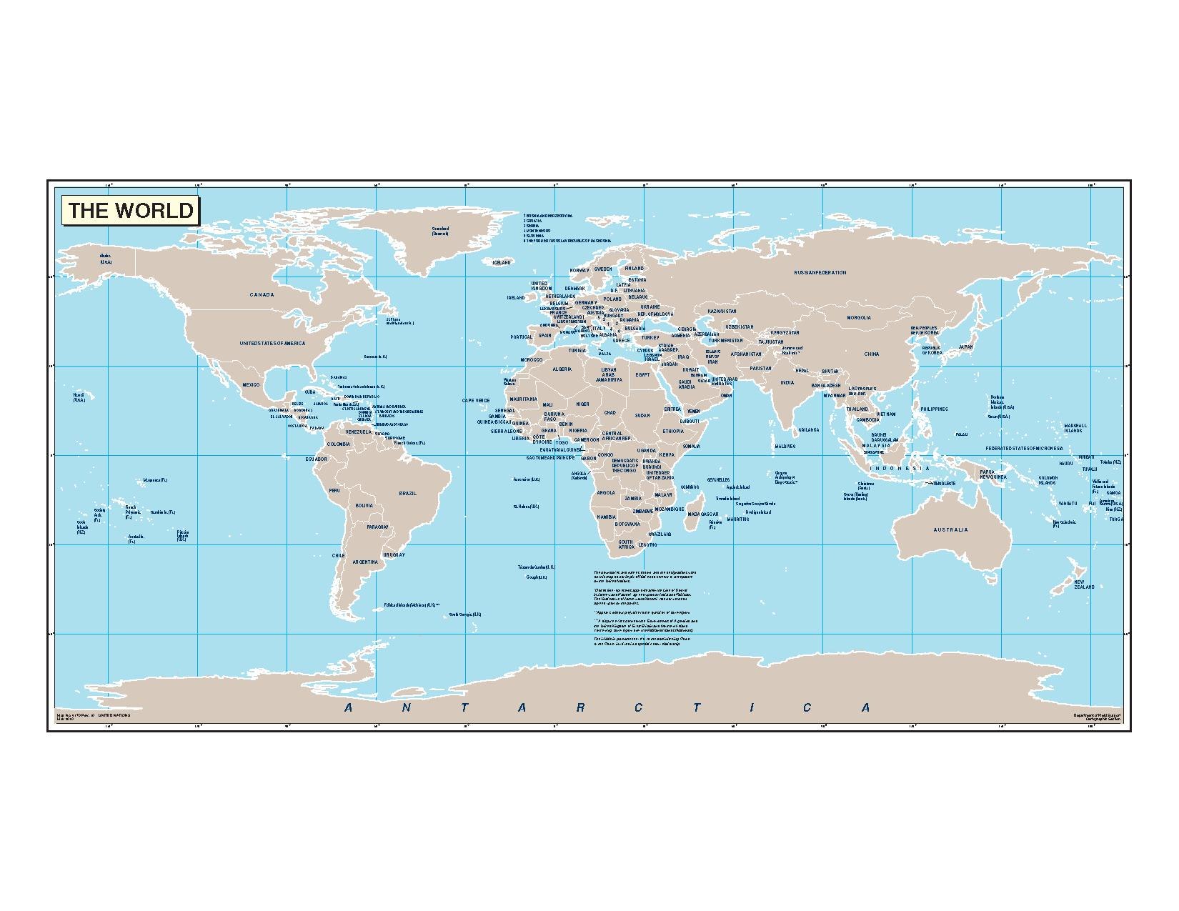
English: The United Nations Cartographic Section blank map of the world with country names. |
|||
| Kuupäev | ||||
| Allikas | Map No. 4170 Rev. 10 | |||
| Autor | United Nations | |||
| Luba (Faili edasikasutus) |
|
|||
| Teised versioonid |
|


.svg)
Faili ajalugu
Klõpsa kuupäeva ja kellaaega, et näha sel ajahetkel kasutusel olnud failiversiooni.
| Kuupäev/kellaaeg | Pisipilt | Mõõtmed | Kasutaja | Kommentaar | |
|---|---|---|---|---|---|
| viimane | 24. aprill 2011, kell 16:43 |  | 1650 × 1275 (768 KB) | Tryphon | Updated (rev.10, 2010-05-06), from http://www.un.org/Depts/Cartographic/map/profile/world.pdf. |
| 25. jaanuar 2009, kell 08:54 | Pisipilti ei ole | 0 × 0 (420 KB) | Emilfaro | {{Information |Description={{en|1=The United Nations [http://www.un.org/Depts/Cartographic/english/htmain.htm Cartographic Section] blank map of the world with country names.}} |Source=[http://www.un.org/Depts/Cartographic/map/profile/world.pdf The UN Wor |
Faili kasutus
Seda faili ei kasuta ükski lehekülg.
Globaalne failikasutus
Järgmised muud vikid kasutavad seda faili:
- Faili kasutus vikis en.wikipedia.org
- Map
- Talk:Comparison of graphics file formats
- User:Emilfarb/Gallery
- User talk:Snow storm in Eastern Asia/Archive 1
- User talk:Snow storm in Eastern Asia/Archive 3
- User talk:Snow storm in Eastern Asia/Archive 5
- User talk:Its snowing in East Asia/Archive humour
- User talk:Its snowing in East Asia/Archive annoying things in modern times
- Faili kasutus vikis my.wikipedia.org